BGCP_60
Site co-ordinates: 17.00/10.60.
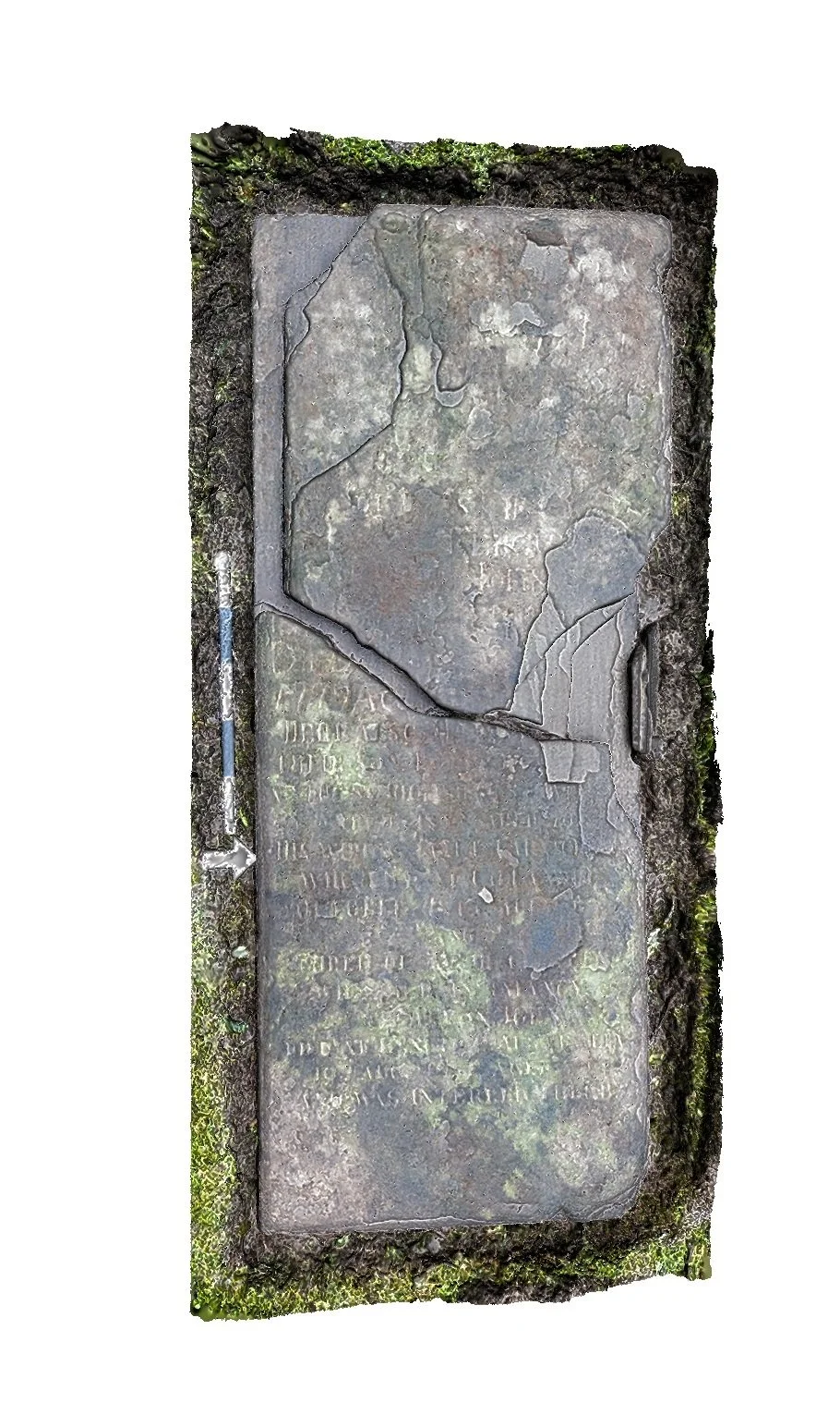
Rectangular sandstone grave slab, measuring 1.80 m long (W–E) by 0.69 m wide, with rounded upper edges. The upper layer of the slab at its W end has become delaminated and shifted 0.06 m to the N, to the W of a prominent irregular crack. There is further damage and delamination on the N side.
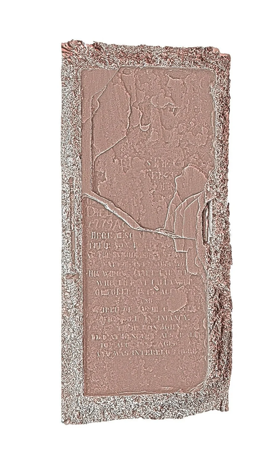
There is visible inscription on both parts, with two main fields of text. That to the W, which appears to start approximately 0.55 m from the head of the slab, is only just visible on the delaminated surface, being heavily worn and damaged, with few letters clearly discernible.
The W part of the inscription appears appears to comprise six lines of text which extend to the E of the crack on the S side, where the date is visible. A tentative preliminary identification:
[HE]RE L[IES] THE… / …. TENC… / …. OF … / …. / DIED … /1779 A[d] …
The E part of the inscription is clearer, though in a smaller script.
HERE ALSO [H] … / [THE]IR SON … [P].… / …. THE S[CH]OOL.… / ….IS.… / HIS WI[FE]…
WHO DIE[D] AT CALLAN[DER] / AND / …. / … [D]IED IN INFANCY / DIED AT … / 10 AUG 1[..]9 AGED … / AND WAS INTERRED ...