BGCP_26
Architectural stone?
Site co-ordinates: 35.50/13.90
3D model here
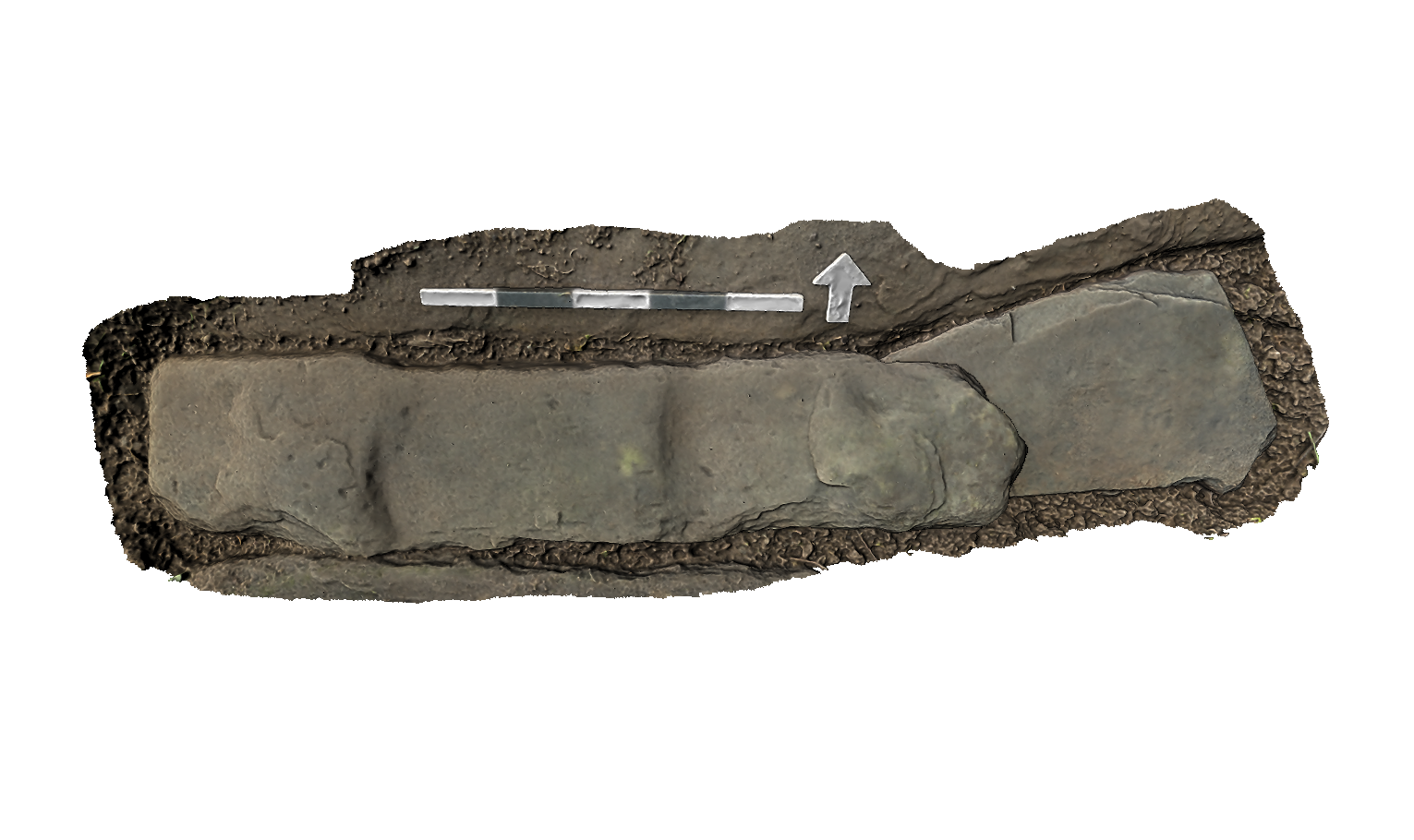
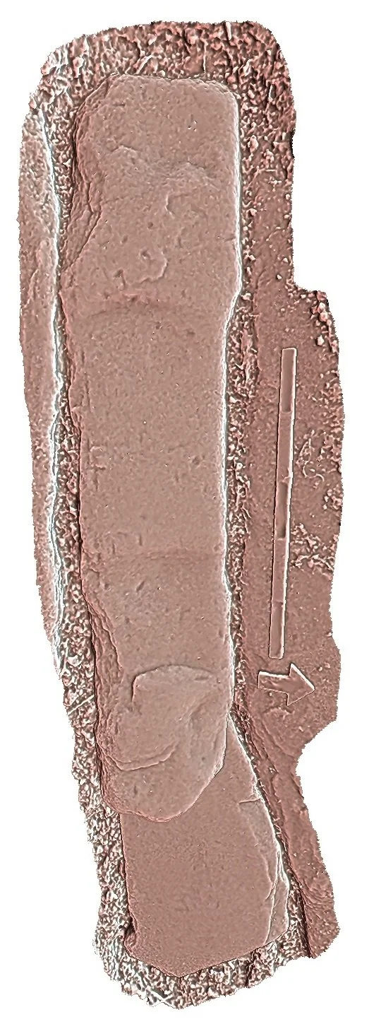
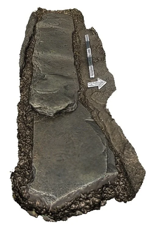
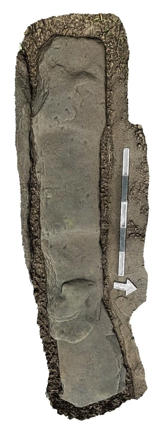
One of a closely packed row of slabs, this grave marker comprises two separate stones, that to the W (26a) partly overlying that to the E (26b).
Stone 26a could not be fully exposed without lifting stone 26b; only 0.55 m at its E end was visible, where it was up to 0.28 m wide at the W, and narrowing to the W.
Stone 26b is rectangular, measuring 1.19 m (W–E) and up to 0.29 m wide. It slopes to the N at approximately 15°. Its S side and E end appear are roughly shaped, while its N side and W end (and NW corner) appear to be carefully shaped, suggesting an original possibly architectural context (perhaps from the medieval church), perhaps explaining its relatively small size. There appears to be a shallow recess, 0.5 m long, cut into the N side, in line with two broad shallow depressions running across the slab which have the appearance of wear.
There appears to be an arrangement of small, equally spaced depressions ('dots') towards the W end, of unknown origin.
For further information on sources see BGCP Bibliographic References after the last entry.